Map
If Geotagging is enabled on your camera/smartphone, image files are displayed, whose metadata contain geographical coordinates. Thus, the exact GPS coordinates are shown on the map, where the photo was taken.
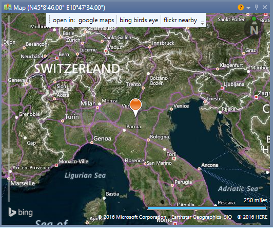
Google Maps, bing birdview and flickr nearby provide more visualization options for GPS display.
|
Function |
Description |
|
Coordinates |
Longitude and latitude of the location, where the photo was taken (only if geotagging is enabled) |
|
Google-Maps |
visualizes the location with Google Maps |
|
bing-Vogelperspektive |
visualizes the location with bing birdview |
|
flickr nearby |
visualizes the location with nearby flickr and displays images that have been recorded in the vicinity. |
|
Zoom scale (left hand) |
Zoom-in and Zoom-out |
|
Distance specification |
Altitude distance from Location |
|
Pointer |
Displays location, where the picture was taken |